Ride 1 - Newbridge, Newport, East Cowes.

For the first ride, on my second day on the island, I had to put my faith in my Isle of Wight cycling map which Lucy had purchased for me before our holiday. It was marked with bridleways, byways, public roads and cycle paths. Within twenty minutes I was lost! After 5 miles of riding along bridleways and country roads I found myself back at the holiday park! I kept going, and eventually found myself on the correct bridleway - one which took me to the Tennyson Trail.
 |
| The wrong bridleway - I got lost for 5 miles! |
 |
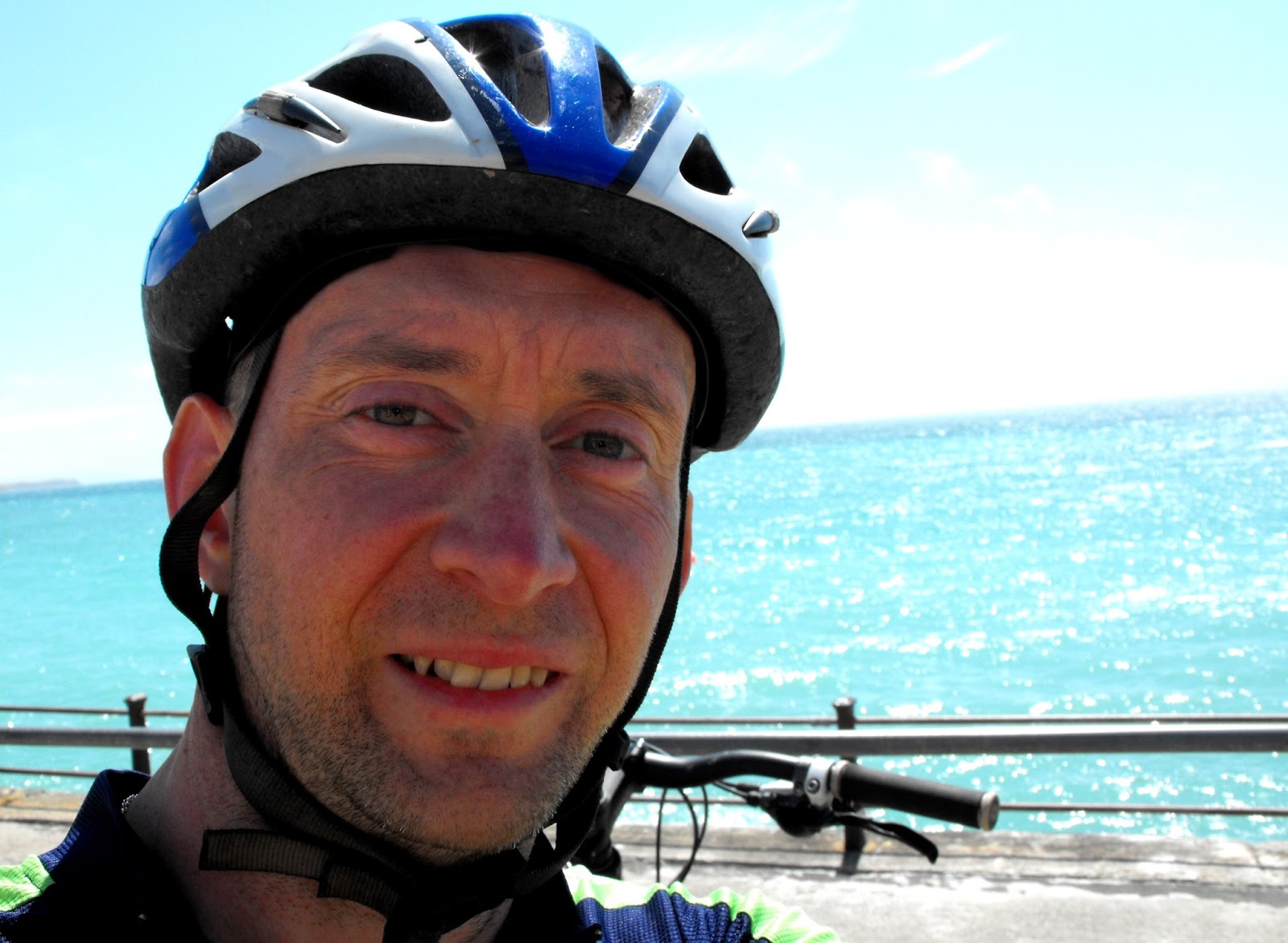
| Terrence Malick |
 |
| The Tennyson Trail lies just over the horizon. |
 |
| The Tennyson Trail looking back west to Freshwater Bay |
 |
| The Tennyson Trail cutting through the wood. |
The great thing about the trail at this point is that the remaining 4 miles are all downhill, the last section of the trail ending in a steep chute through the woods with natural jumps and berms. Real NWAlps stuff! Obviously, there are no photographs of this section - I wasn't stopping!
 |
| After the first section of woodland, the Tennyson Trail becomes singletrack. Dry and dusty enough? |
One of the things that the Isle of Wight has got right is the signposting. Nearly every junction has a sign letting you know which bridleway or byway you're on and where it's going. Many times, I would have missed a gap in a hedge where it not for these signs.
 |
| Where am I going? Oh, okay. |

Reluctantly leaving the Tennyson Trail, I found myself in the busy town of Newport. I cut through this as quickly as possible and got myself on the cycle path that runs north to East Cowes at the top of the island. Now, a cycle path in Birmingham and Solihull is normally the footpath with a blue sign of a bike above it, where pedestrians get in the way and tut at you. Or it's a white dotted line drawn on the left side of the road which BMW drivers simply ignore. A cycle path on the Isle of Wight, however, is a wide path devoid of motorised traffic which cuts through some of the most beautiful parts of the island. It was great to see whole families out cycling together.
 |
| How a cycle path should be done. Not a German car in sight. |
 |
| Gurnard |
The rest of the ride passed without incident and, despite some self-doubt regarding my decision to bring the mountain bike instead of the road machine, I was very happy with my day. The weather was great and the ride contained no less than three category 4 off-road climbs! Strava data here.
Ride 2 - Newbridge, Newport, Bowcombe Estate

Rain and mist. I looked at the weather forecast for the day and decided against taking the camera with me. Armed with my trusty cycling map and the GPS on my phone, I headed off on the trails looking for a more off-road based adventure than the cycle path and coast road ride of the day before. I couldn't resist riding the Tennyson Trail all the way to Newport and then set about finding a bridleway just after Carisbrooke Castle. I eventually found it and immediately regretted not having the camera! It was a unique experience riding this bridleway - I couldn't see how it was possible to ride a horse up it - it was far too cramped! The trees and bushes either side met overhead so that even I had to duck at times! The bridleway was a climb that just kept on going! For just over a mile, I rode up this chalky path surrounded both sides and above by greenery. I'm not ashamed to admit that at times it felt a little creepy, being totally isolated in a mile-long dark tunnel of vegetation! But I soon emerged into rolling countryside and farmland, and then got utterly lost.
After a climb which defeated me and reduced me to pushing uphill, I was on one of the highest points of the island, surrounded my driving rain, mist and howling winds. My map was wet and torn and the rain on the screen of my phone stopped it responding to my fingers. I simply couldn't find a way past the Bowcombe Estate. According to my map, this area should have been a network of bridleways running through farmland. All I seemed to find were electric fences behind which were game birds being fed in order to be shot at some later date. It was over an hour before I finally gave up and headed for the nearest road. During that time, there was a point where I couldn't figure a way out and ended up off the trails, pushing my bike up a steep hill in the long grass while mist and rain made sure that both me and my map were soaked to the point of uselessness!
I followed the Tennyson Trail back to the west of the island and then got on the road to get back to the caravan. This ride was a hard 30 miles including five category 4 climbs! Strava data here.
Ride 3 - Newbridge, Freshwater Bay, Shalcombe

A beautiful sunny day. I got up on to the Tennyson Trail once again but this time headed west, through the golf course, and down to Freshwater Bay. The golfers didn't seem to mind my being there, but at the same time, they didn't acknowledge my existence either. The run down into the bay was fast and slippery and fun, and I met a local at the bottom who said I must be mad. She couldn't believe it when I explained that I would be riding back up it in a little while! Freshwater Bay itself is a lovely little place:
 |
| Timed shot, missed off the top of my head! My trusty, dried-off map in my back pocket. |
 |
| How much blue is too much? |


After spending some time looking at the sea, I found a friendly little cafe and sat down to tea and cake. There were 4 roadies in there and we tried to have a chat but their routes and my routes were alien to each other! So we talked about Geraint Thomas headbutting a telegraph pole instead.
 |
| Velocake |

 |
| The white line is part of the Tennyson Trail heading west. |


After bombing it down the lovely descent (and getting both wheels off the ground again) I turned left and left again in order to explore a bit of a forest I'd spotted on previous rides. After a long, hot steep climb, I found some nice fast fire road type riding, but couldn't find any single track. I met a guy on an expensive Specialized but he was too cool to say hello back. It was still lovely to be speeding downhill in a forest.
 |
| This is nature |
On the way back to base, I took to the lanes to have a look at a couple of country pubs we were considering having dinner in. Later that evening, we ended up at the Horse and Groom and it was very nice and very expensive. Strava data here.
Ride 4 - Newbridge, Niton, Newport

I started off on the Tennyson Trail as usual but pretty soon turned off south to follow some bridleways on my map. I found some lovely countryside, but didn't find the route I was looking for and actually ended up riding through someone's farm. Unfortunately, I got more and more off course as the day went on - I guess the map could have been more accurate and would be a lot easier to follow if I'd just stuck to the country lanes. But that's boring on a mountain bike.
 |
| I didn't know where I was and this didn't help! |
The day got hotter and I eventually had to admit that I couldn't find the route I wanted so had to make it up as I went along. This resulted in a lot of turning around, thorny, stinger-filled diversions and some unwanted A road riding.
 |
| Narrower than it looks |
 |
| Ouch |
 |
| I ended up chasing these sheep up this narrow chute. They were terrified of me. My wheels ended up covered in very fresh sheep shit. |
 |
| I can see for miles. |
 |
| A few seconds after I realised that I was utterly lost! |
 |
| This is very steep and very rooty and typical of the type of riding I found on ride 4 |
For at least 2 hours I was completely alone on some technical trails that went up and down very steeply indeed. I don't mind admitting that I walked down two of the sections - they were very steep and obviously I hadn't ridden them before, so I didn't want to take too many chances... If I'd broken my leg, I'd probably still be there now. It was completely deserted!
 |
| I was VERY glad to find these signs! |
I got back on the Tennyson Trail to ride west and soon realised how much harder it was going that way! 42 miles with two category 4 climbs. Phew! Strava data here.
Day 5 - Newbridge, The Needles, Yarmouth

Today, I was mostly on the roads. During the climb up on to the Tennyson Trail, I almost turned back - my legs were empty and I struggled to find the motivation. Once on the trail, however, I cruised through the golf course and down to Freshwater Bay and felt much better! From there, I cycled out to have a look at the Needles - a fantastic bit of landscape at the western edge of the island. Unfortunately, I couldn't get near it - someone has built a tacky theme park around it! I quickly turned around and headed off east along the coast road. I made it to Yarmouth Harbour and took some nice shots, and then, after some gift shopping in Yarmouth itself, I headed back to base with shaky legs and an empty belly. Strava data here.


I would recommend the Isle of Wight to a mountain biker as long as they are prepared to do a lot of hard slog and not to expect flowing single track at every turn. It helps if you appreciate nature and beautiful landscapes and are interested in more than just speed and thrills. I rode a total of 147 miles over 5 days and never got bored.
I'm glad I didn't take the road bike.
No comments:
Post a Comment